History of Camiguin Island
Camiguin Island’s story dates back to the early 1500s, when Spanish explorers arrived, drawn by its rich natural resources. These explorers named the island after the native Kamigin tree, which was once abundant across the region at the time.
After introducing Christianity, they established settlements that have shaped the island’s rich history and culture. Despite this, the island was unfortunately met with devastating natural disasters, which disrupted the island’s growth.
A series of volcanic eruptions reshaped the island’s terrain and forced local communities to relocate. This became a powerful symbol of Camiguin’s evolving landscape.
Mount Hibok-Hibok Eruption
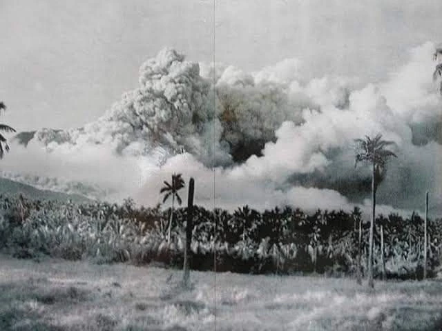
In 1871, Mount Hibok-Hibok erupted violently, destroying the beautiful island of Camiguin. This was Mount Hibok-Hibok’s first major and documented eruption. The blast wiped out the town of Catarman, destroying a nearby church and submerging a local cemetery. This also caused the formation of Mount Vulcan.
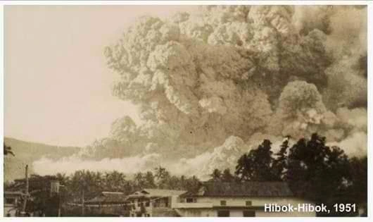
These key sites, now known as the old church ruins and the sunken cemetery, reflect Camiguin’s rich history and resilient culture. The last known and recorded major eruption of Mount Hibok-Hibok happened on December 4, 1951. This prompted the Philippine government to create the Philippine Institute of Volcanology and Seismology or PHIVOLCS.
Since its formation, PHIVOLCS has tracked active volcanoes in the country and assessed volcanic risks nationwide. Early warning systems have improved, and disaster readiness has grown stronger, especially in high-risk areas like Camiguin.
Camiguin in the Present Times
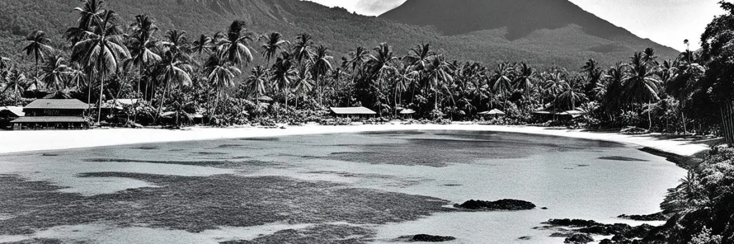
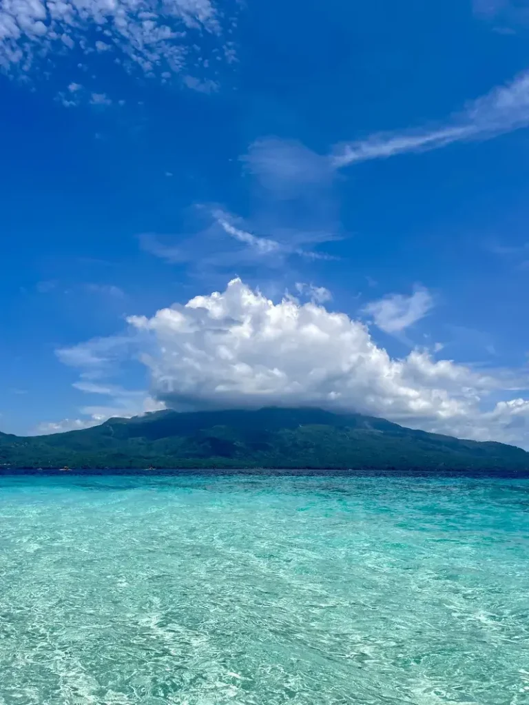
If you ask how big Camiguin Island is, it is currently the second smallest province in the Philippines. It is approximately 92 square miles in size, or 238 square kilometers. The island is located in the Bohol Sea off the northern coast of Mindanao.
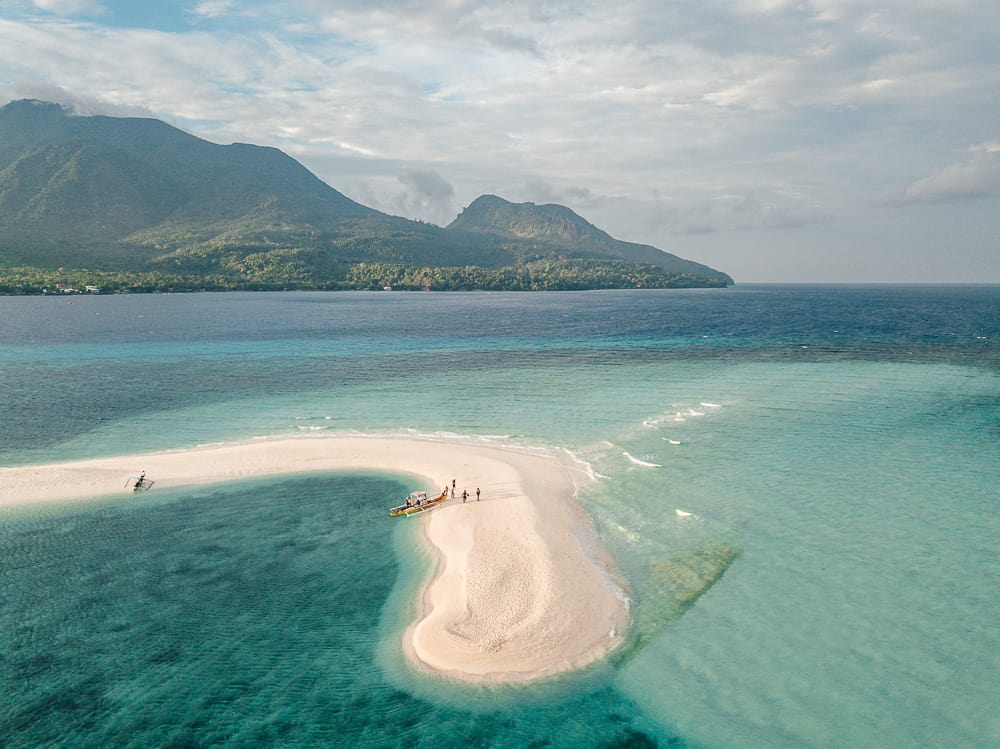
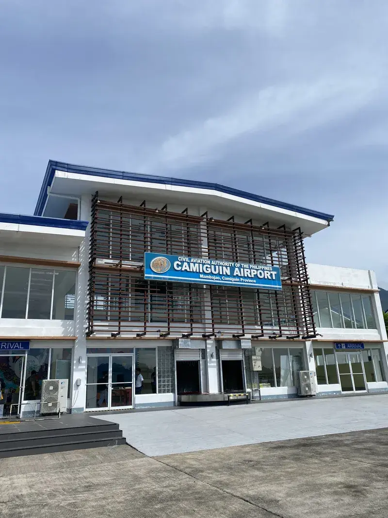
Today, Camiguin Island is one of the country’s top tourist destinations. Tourists also frequently ask about what Camiguin Island is known for. The island is known for its pristine beaches, like the White Island and Mantigue Island.
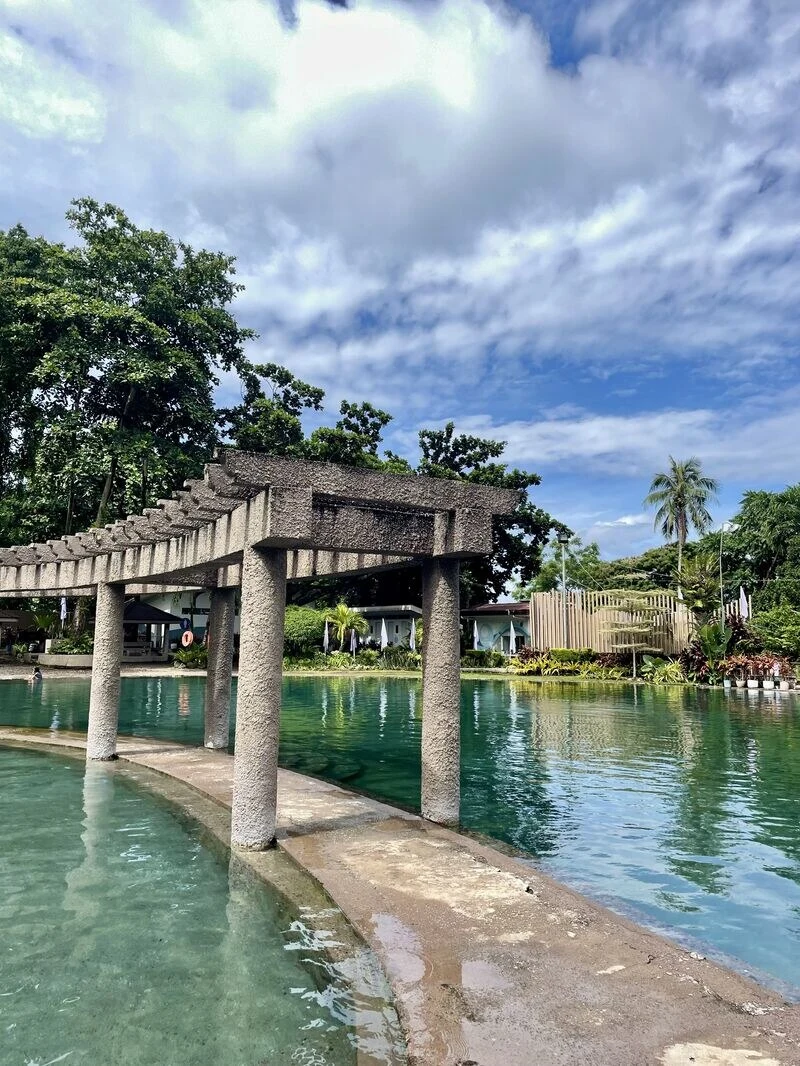
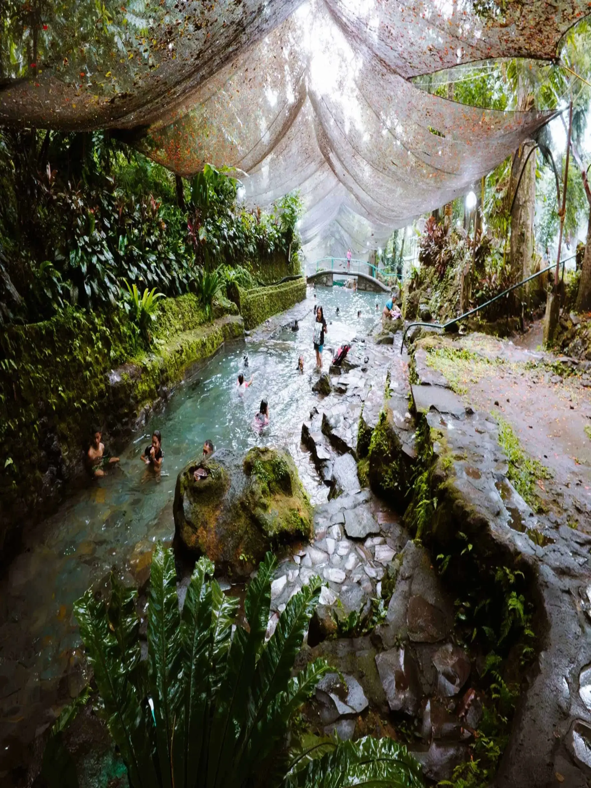
It also features naturally beautiful waterfalls, such as Tuasan Falls and Katibawasan Falls. The island also celebrates the Lanzones festival, held in October to showcase and highlight Camiguin’s culture and traditions.
Camiguin Island has seven volcanoes in total, with Mount Hibok-Hibok as the only active volcano. Due to the island’s volcanic heritage, the locals have embraced their past and proudly call Camiguin the “Island Born of Fire.”
About Me
Hello and welcome! I’m Joshua, a passionate Cebuano writer and storyteller. This blog is where I express myself and share with you the breathtaking beauty of the Philippines, from hidden gems to well-known wonders. Come along and join me on this journey.
Ready to explore Camiguin? Read more below.